
STAGE 8
Preikestolen Parking - Høllesliheia

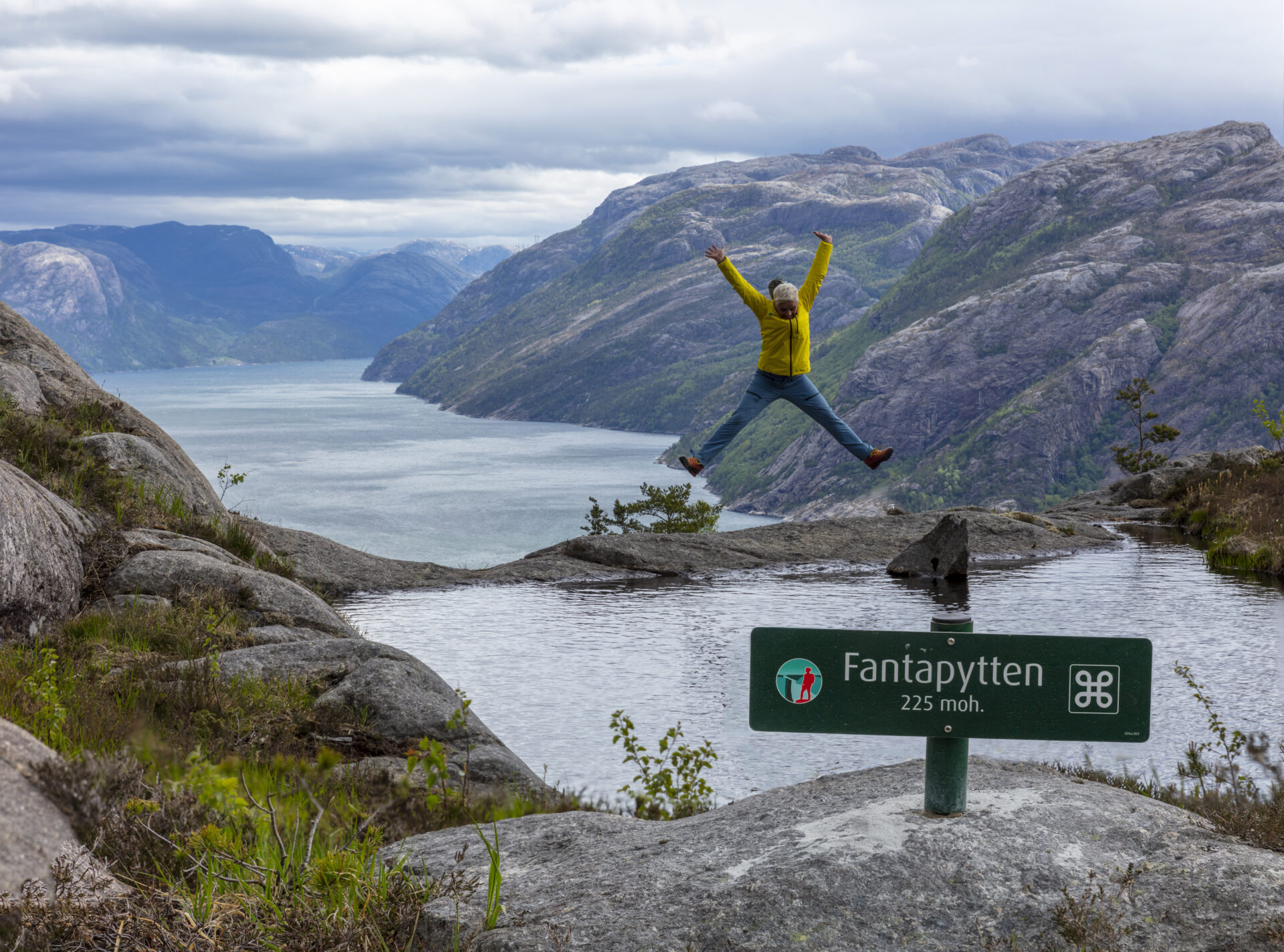
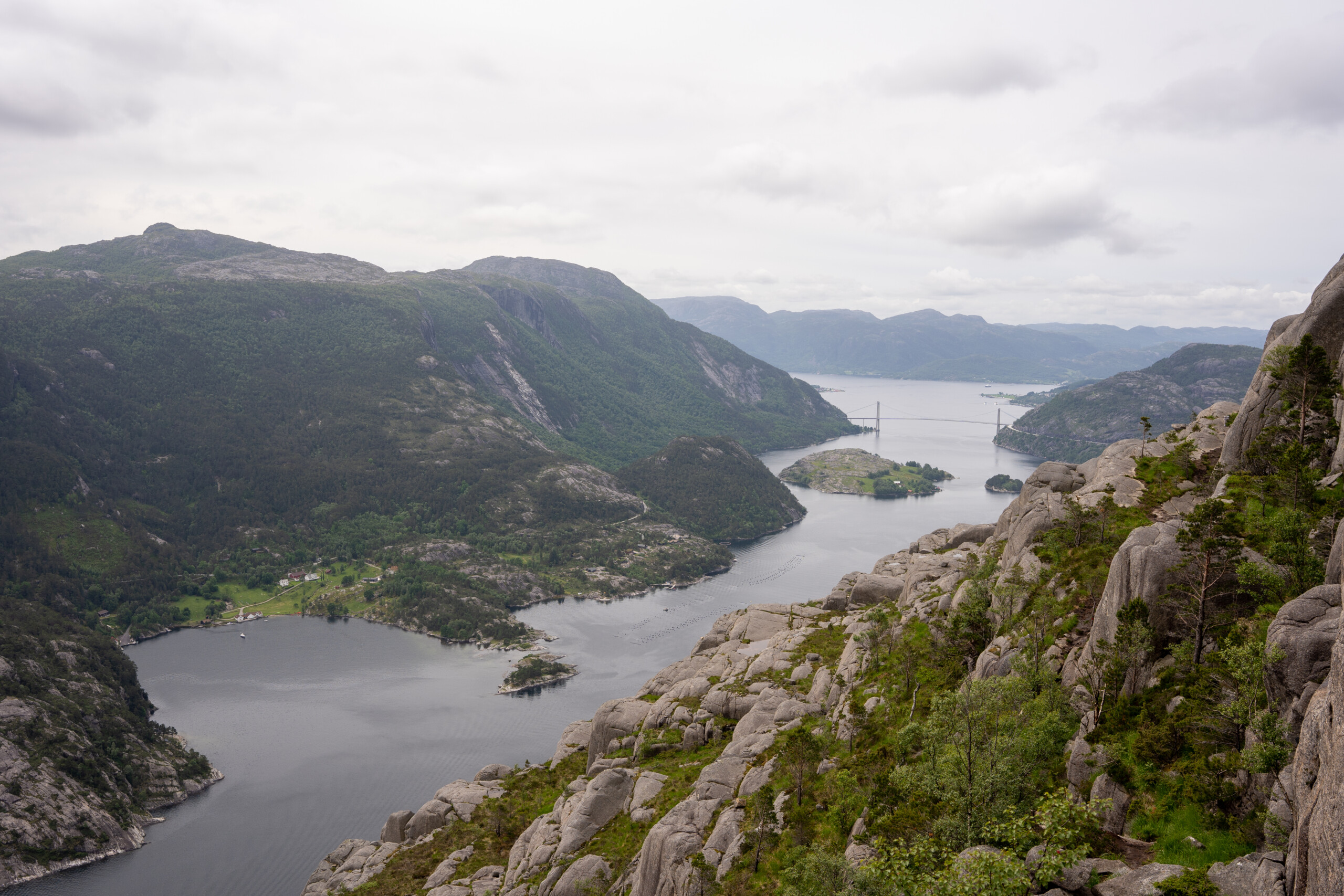
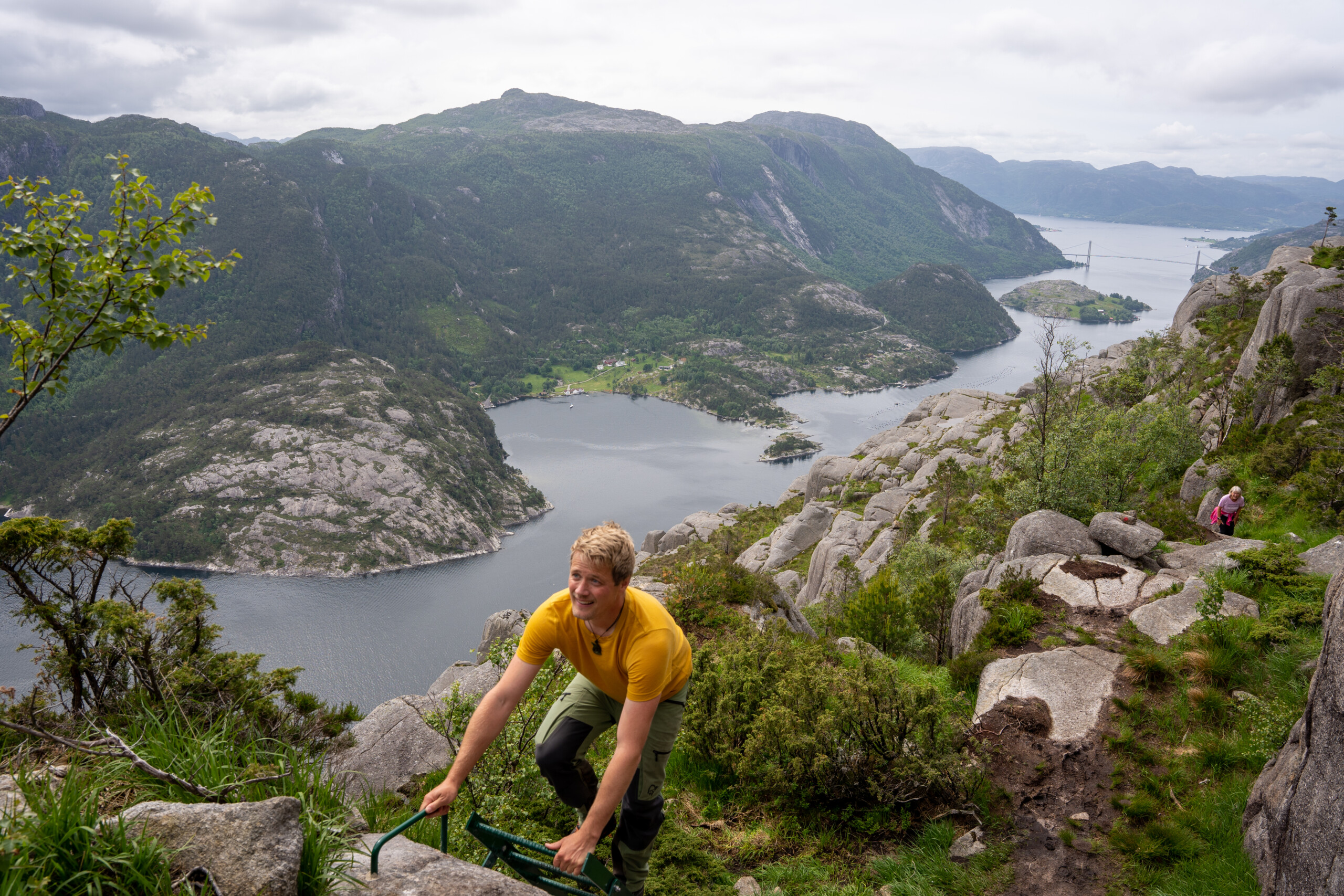
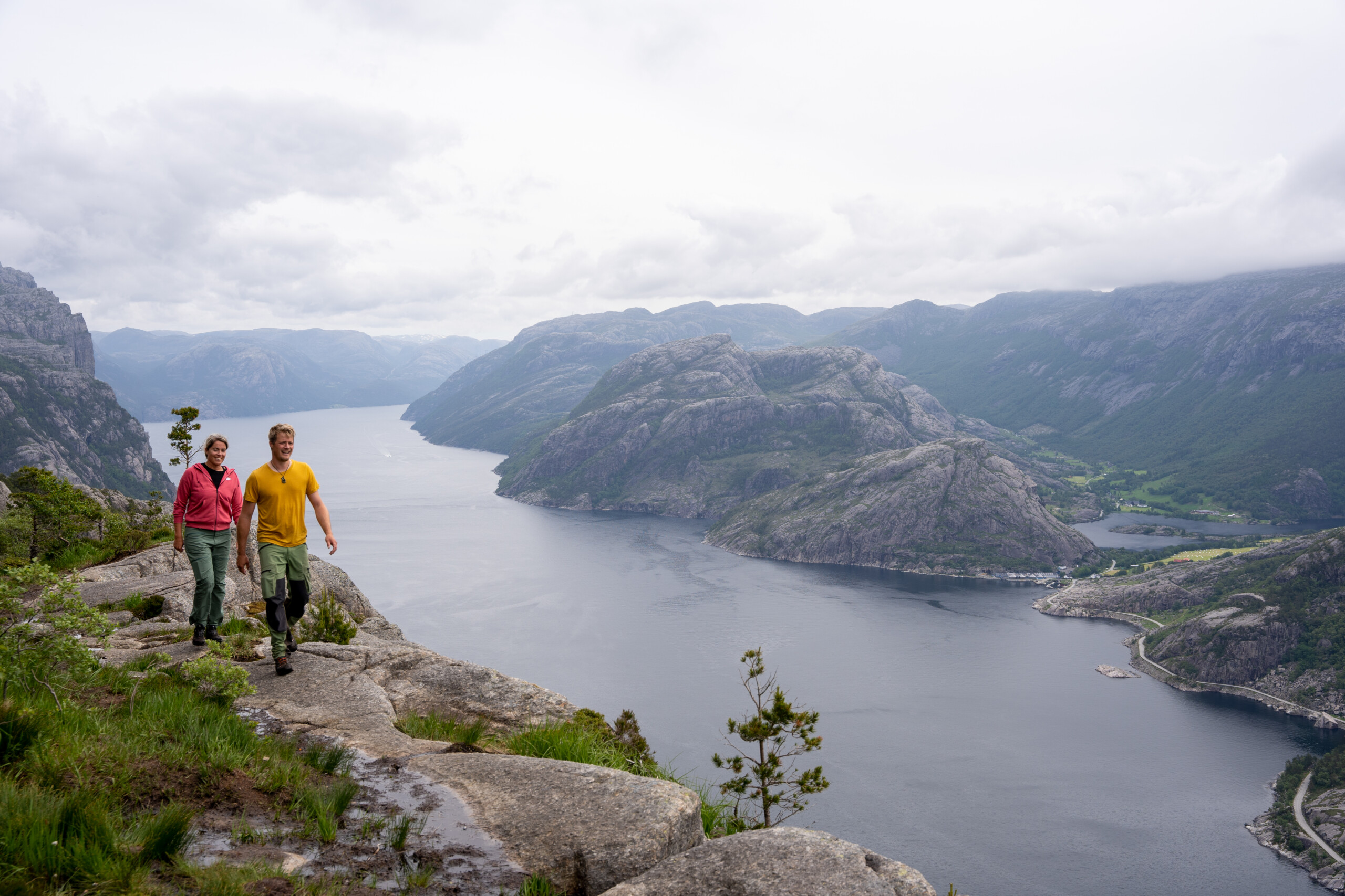
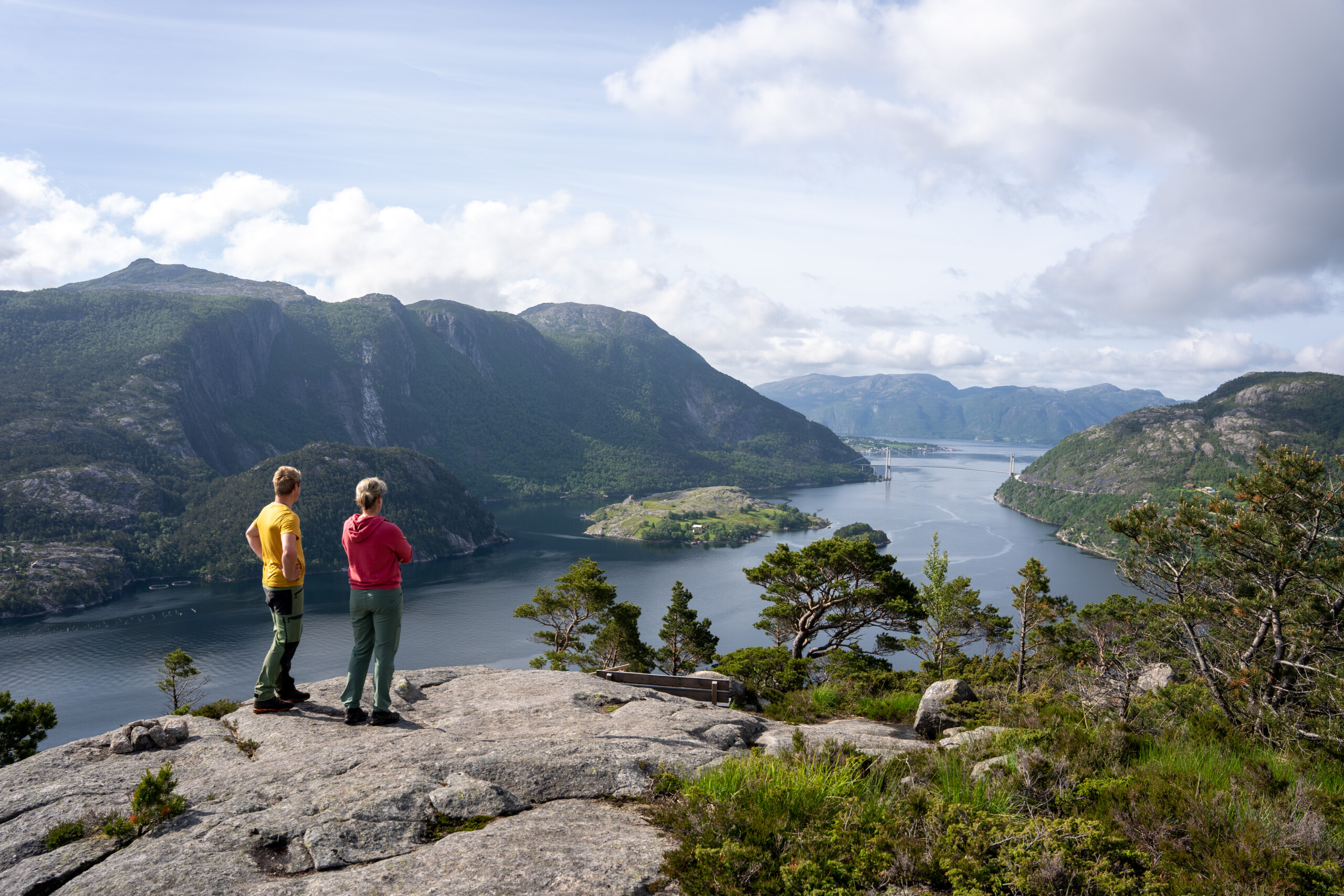
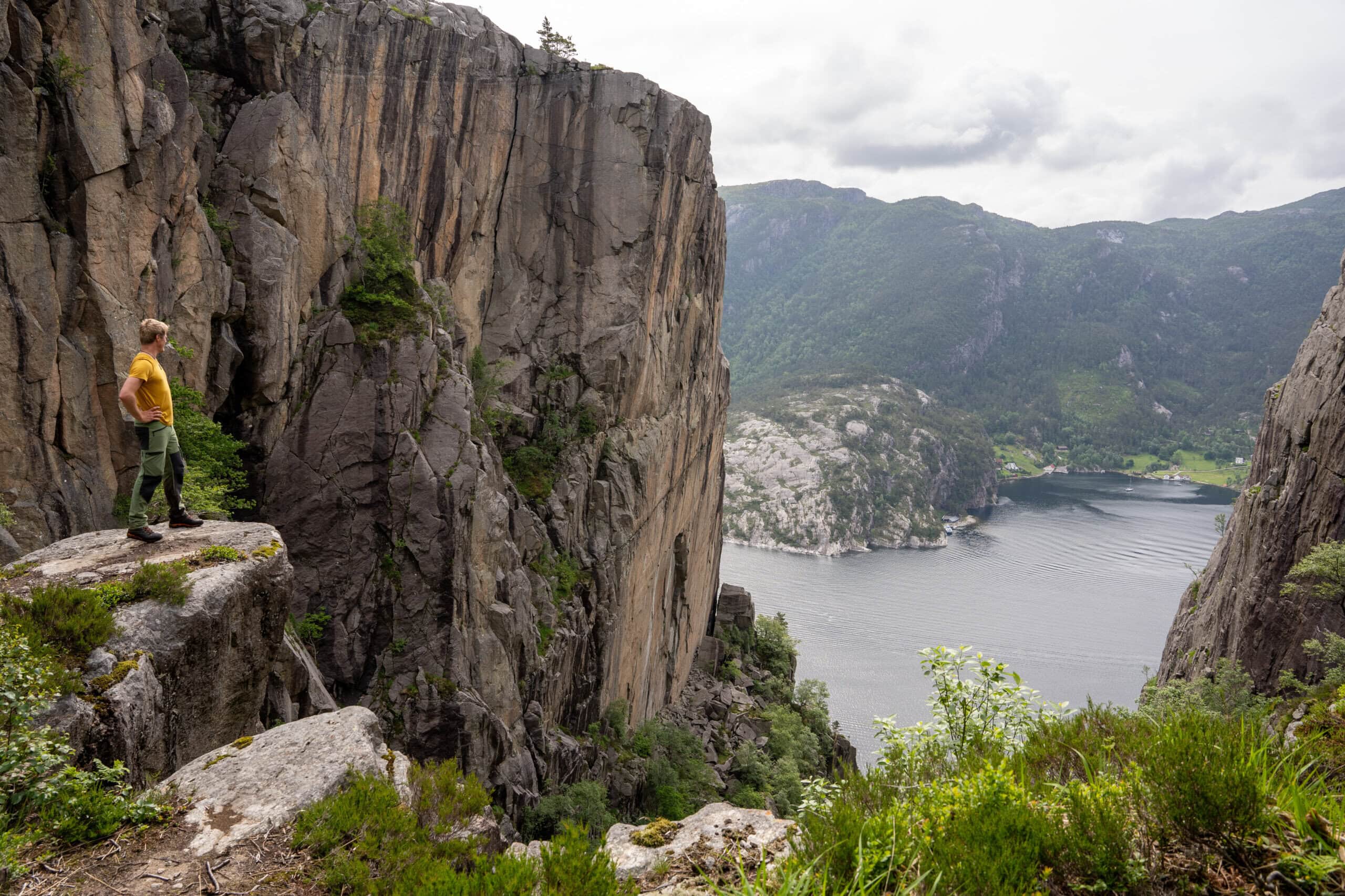

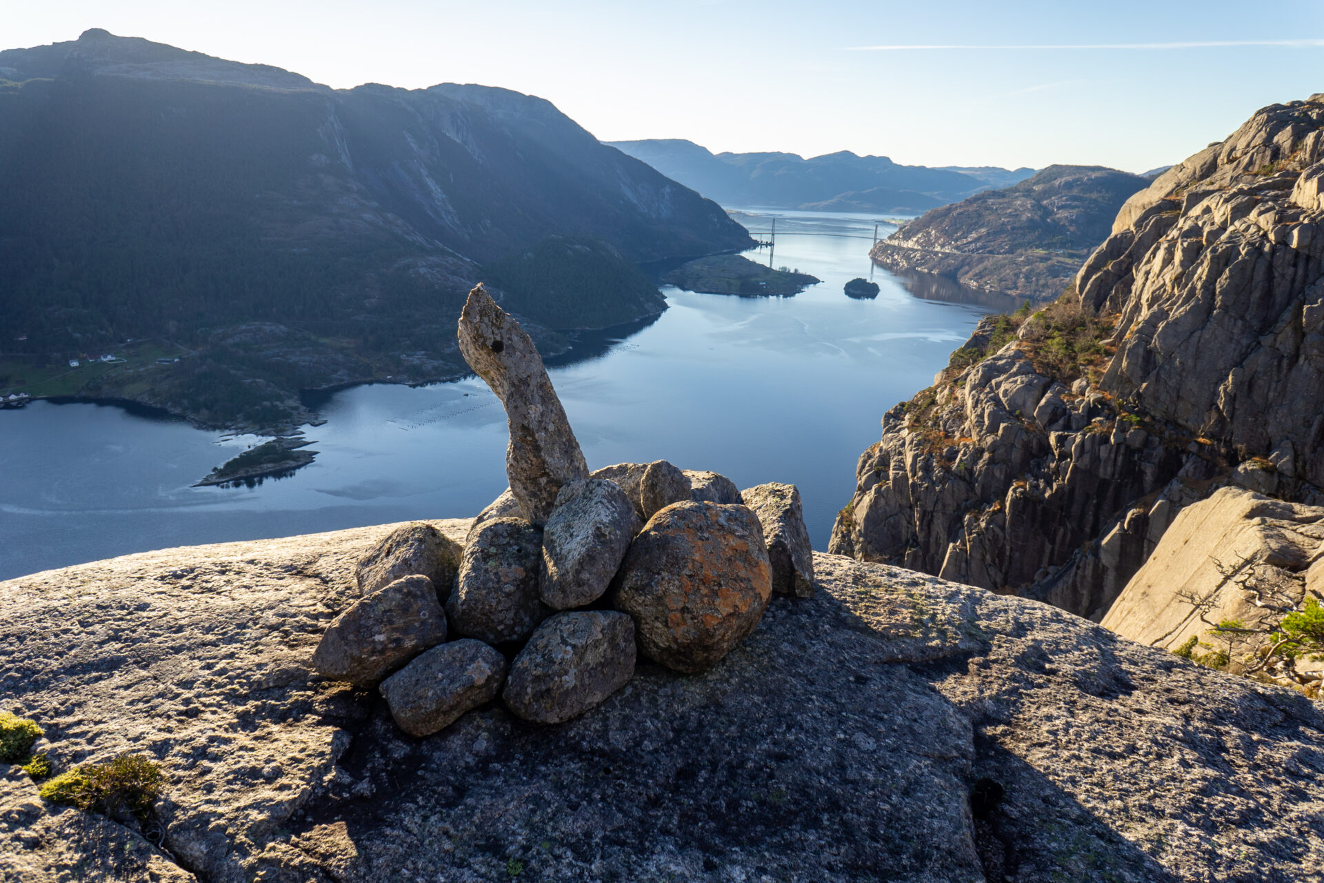


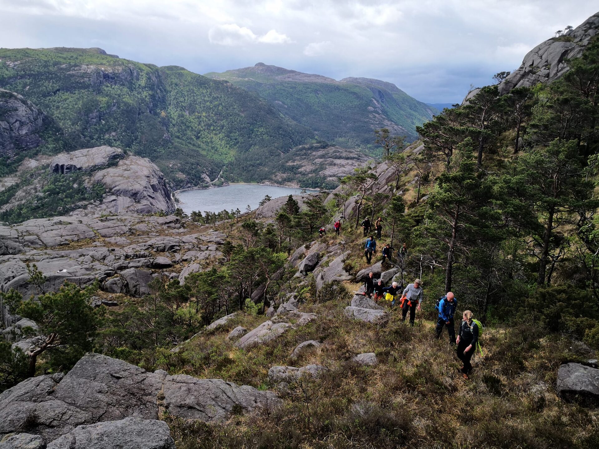
This hike will take your breath away! The Lysefjord Panorama Trail runs close along the fjord 75% of the time. After passing beautiful Revsvatnet and a dense forest, you’ll reach the Lysefjord. Here, the path winds hundreds of meters above sea level, along several mountain cliffs and gorges, including Skjerajuvet and Fantahålå, and through mighty nature past countless panoramic viewpoints. If you pay close attention, you will find the rather unique “Fantapytten” – the Lysefjord’s own ‘infinity pool’.
In 2024 and 2025, feedback has shown that international Lysefjord Rundt hikers found this stage the most beautiful.
We recommend to hike the Lysefjorden Rundt Trail anti-clockwise. However, it is possible to hike this stage in both directions.
![]() On ut.no, Norway's hiking planner, you'll find detailed trail information. Use digital maps for navigation, and searching for cabins and hikes all over the country. Ut.no is a services offered to the public by the Norwegian Trekking Association (DNT).
On ut.no, Norway's hiking planner, you'll find detailed trail information. Use digital maps for navigation, and searching for cabins and hikes all over the country. Ut.no is a services offered to the public by the Norwegian Trekking Association (DNT).
NOTE If you are planning to hike this stage as a day trip only, we actually recommend hiking from west to east, to get the best views. The gentle, long slopes also run down eastwards (they will feel like long uphills hiking westwards), and the steep slopes run up eastwards (they are somewhat exposed when hiking westwards/down). Check Lysefjord Panorama Trail for a west-to-east description.
Take a bus from Preikestolen Parking to the trailhead at Høllesliheia / The Bolder.


| Difficulty | Demanding |
| Distance | 9 km (A→B) |
| Duration | 4-5 hours |
| Total elevation gain | 500 meter (east-west) 600 meter (west-east) |
| Season | April - October |
| Link to hiking map | ut.no/preikestolen-basecamp-høllesliheia |
| GPX-file | Høllesliheia-Preikestolen BaseCamp (GPX) |

Directions
Parking facilities are available at both The Bolder and Preikestolen Parking.
You can drive by car, or take a bus from Stavanger to Preikestolen Parking. From there, you can take a bus to the trailhead (se Public Transportation).
When parking at Preikestolen Parking, follow signs to Preikestolen. 9 km from Jørpeland, 17 km from Forsand.
Høllesliheia / The Bolder is located along fv 523, 10 km south of Jørpeland, and 6 km north of Forsand.
If you prefer parking at Høllesliheia / The Bolder, please note there are no toilet facilities. Please follow and respect all local signage and instructions.
Public Transport
Bus shuttle from Preikestolen Parking to Høllesliheia / The Bolder (trailhead)
New in 2026
- May–September: Daily bus departure at 11:00 from Preikestolen Parking to Høllesliheia / The Bolder
- October: Weekend departures at 12:00
- Driving time: approx. 15 minutes
- Price: NOK 70
Booking: Pulpit Rock Tours
When booking, select “From: Pulpit Rock” and “To: The Bolder.”
Preikestolen Ekspress Bus or Pulpit Rock Tours
For transport between Preikestolen Parking and Jørpeland / Stavanger.
Strand taxi
For transport The Bolder and Preikestolen BaseCamp, or to get to Jørpeland or Forsand.
Are you planning to hike the Lysefjorden Rundt Trail in 2026?
By registering and sharing your schedule, you enable us to offer you free personalized advice on the feasibility of your hiking itinerary, considering both difficulty and logistics. It also provides us with data on visitor traffic and trail usage, which helps us make targeted improvements.
After your hike, you will receive a feedback form. We encourage you to share your experiences, as this information is vital for us to improve both the trail and the overall visitor experience continuously.
Lysefjord visitor guide
As you experience this majestic landscape, remember that your actions hold the power to protect and celebrate our unique destination for all who follow in your footsteps.

Respect Nature

Be Part of the Local Community

Stay Safe
