
STAGE 8
Preikestolen Parking – Høllesliheia


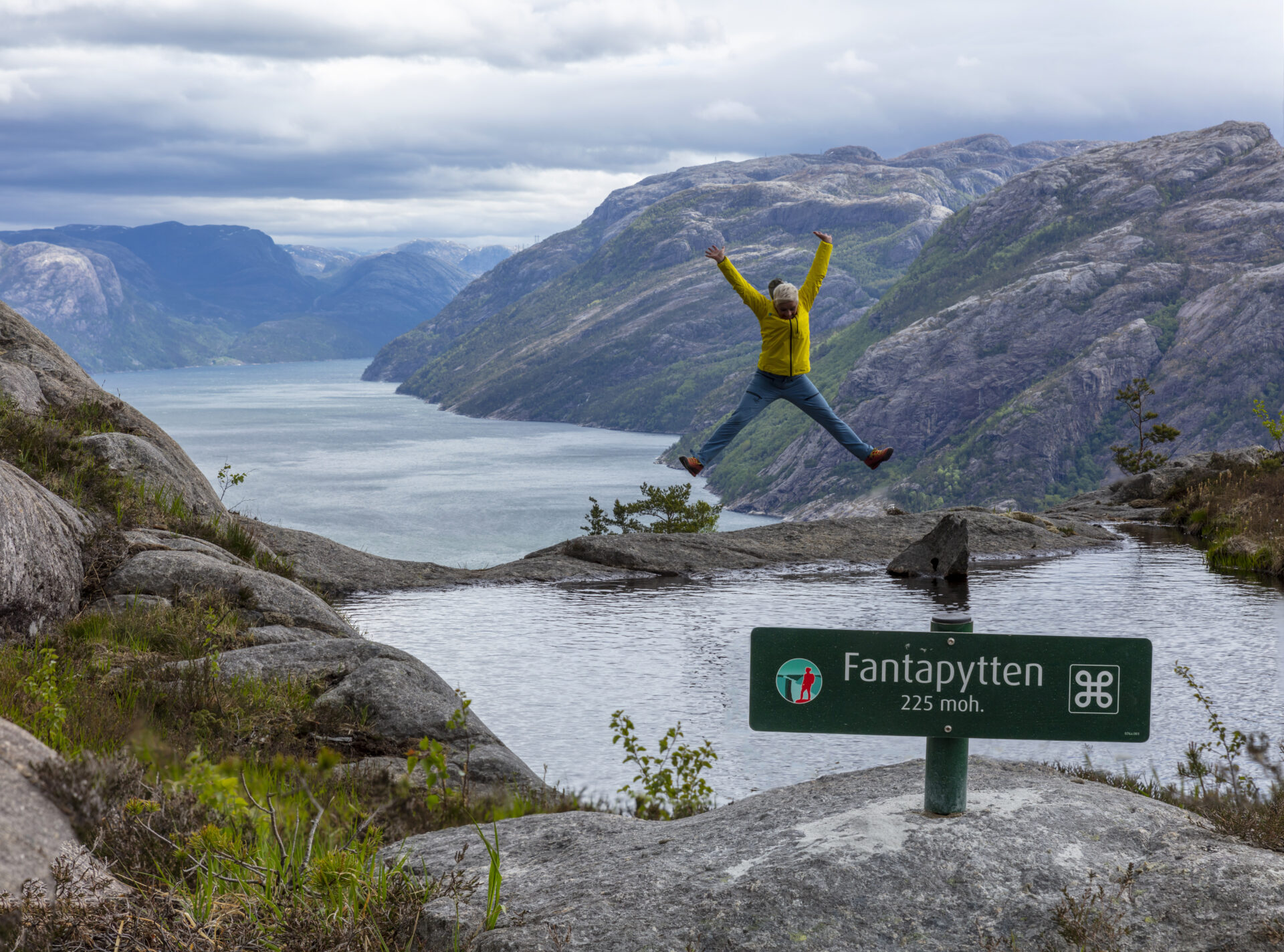


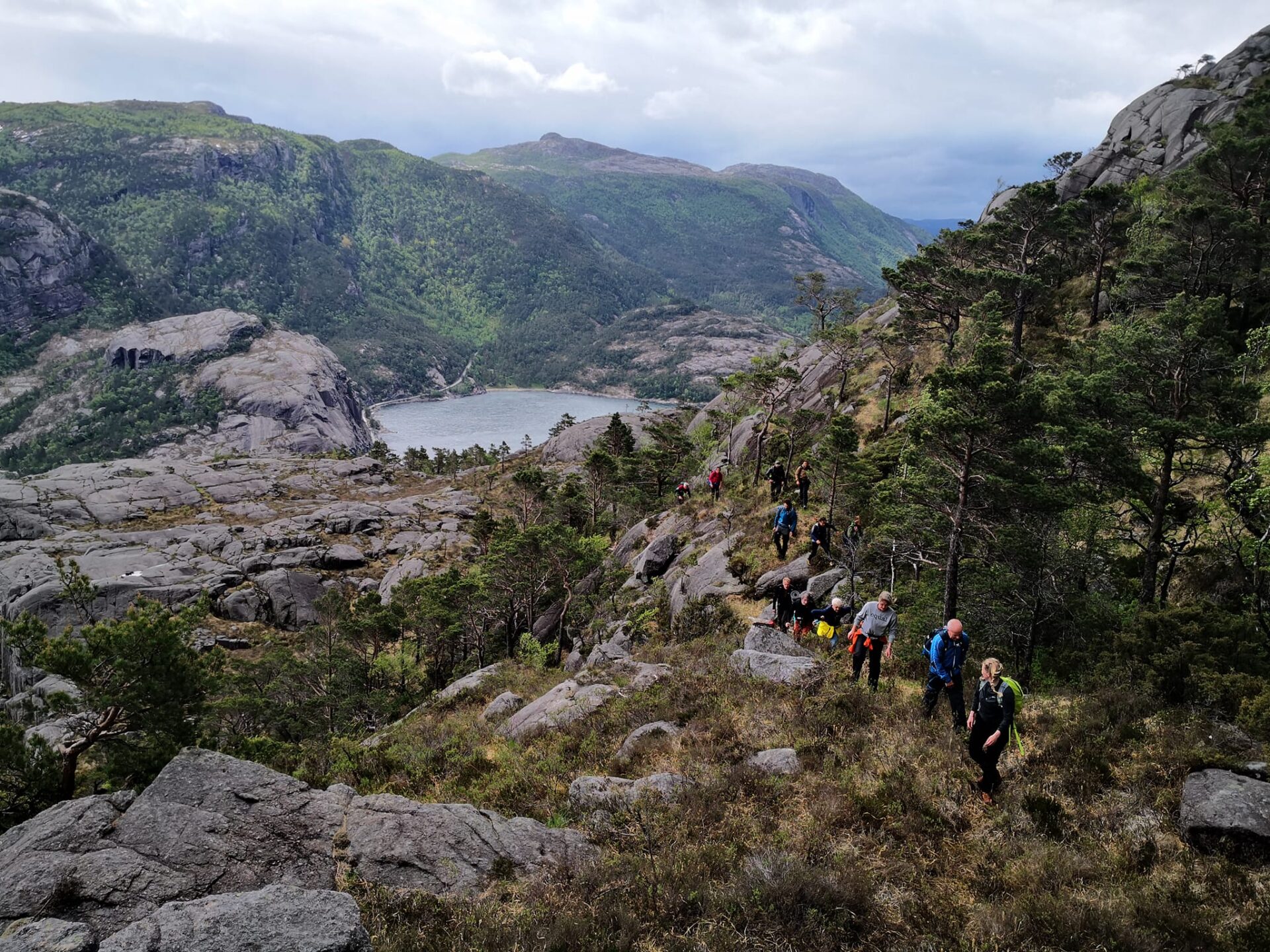
This hike will take your breath away! The trail runs close along the fjord 75% of the time. After passing beautiful Revsvatnet and a dense forest, you’ll reach the Lysefjord. Here, the path winds hundreds of meters above sea level, along several mountain cliffs and gorges, including Skjerajuvet and Fantahålå, and through mighty nature past countless panoramic viewpoints. If you pay close attention, you will find the rather unique “Fantapytten” – the Lysefjord’s own ‘infinity pool’.
In 2024, feedback has shown that international Lysefjord Rundt hikers found this stage the most beautiful.
Feedback has shown that 2024 walkers found this stage the most beautiful
We recommend to hike the Lysefjorden Rundt Trail anti-clockwise. However, it is possible to hike this stage in both directions.
![]() On ut.no, Norway’s hiking planner, you’ll find detailed trail information. Use digital maps for navigation, and searching for cabins and hikes all over the country. Ut.no is a services offered to the public by the Norwegian Trekking Association (DNT).
On ut.no, Norway’s hiking planner, you’ll find detailed trail information. Use digital maps for navigation, and searching for cabins and hikes all over the country. Ut.no is a services offered to the public by the Norwegian Trekking Association (DNT).
NOTE If you are planning to hike this stage as a day trip only, we actually recommend hiking from west to east, to get the best views. The gentle, long slopes also run down eastwards (they will feel like long uphills hiking westwards), and the steep slopes run up eastwards (they are somewhat exposed when hiking westwards/down). Check Fantapytten for a west-to-east description.
[3D-Map id=”1″]

| Difficulty | Demanding |
| Distance | 9 km |
| Duration | 4-5 hours |
| Total elevation gain | 500 meter (east-west) 600 meter (west-east) |
| Season | May – October |
| Link to digital hiking map | ut.no/preikestolen-basecamp-høllesliheia |
| GPX-file | Preikestolen BaseCamp-Høllesliheia (GPX) |
Video: Willy Steinskog
Directions
Parking facilities are available at both The Bolder and Preikestolen Parking.
When parking at Preikestolen Parking, follow signs to Preikestolen. 9 km from Jørpeland, 17 km from Forsand.
The Bolder is located along fv 523, 10 km south of Jørpeland, and 6 km north of Forsand.
Public Transport
Preikestolen Ekspress Bus or Pulpit Rock Tours
For transport between Preikestolen Parking and Jørpeland / Stavanger.
Kolumbus – local buss 120
To Forsand or Jørpeland after you have reached the finish / The Bolder. Check the bus schedule carefully, there are few departures. Make it very clear to the bus driver to stop. It might be more practical to arrange a taxi.
Strand taxi
For transport The Bolder and Preikestolen BaseCamp, or to get to Jørpeland or Forsand.
Are you planning to hike the Lysefjorden Rundt Trail in 2025?
En vous inscrivant et en partageant votre emploi du temps, vous nous permettez de vous proposer des services. conseils personnalisés gratuits Nous évaluons la faisabilité de votre itinéraire de randonnée en tenant compte de sa difficulté et des aspects logistiques. Cela nous fournit également des données sur la fréquentation des sentiers, ce qui nous permet d'apporter des améliorations ciblées.
Après votre randonnée, vous recevrez un formulaire d'évaluation. Nous vous encourageons à partager votre expérience, car ces informations sont essentielles pour améliorer en permanence le sentier et l'expérience globale des visiteurs.
Lysefjord Code of Conduct
Plan your trip according to your ability and current conditions. Pay attention to the weather – listen to local advice.
Be prepared and bring necessary equipment, including good footwear, rain/wind proof clothing, a torch, hat, gloves and an extra set of warm clothes. Expect the unexpected. Bring a backpack with a packed lunch, extra snacks and water.
Leave no trace. Take nothing but pictures and leave nothing but footprints. Behave responsible, taking other hikers’ and nature’s wellbeing into account.
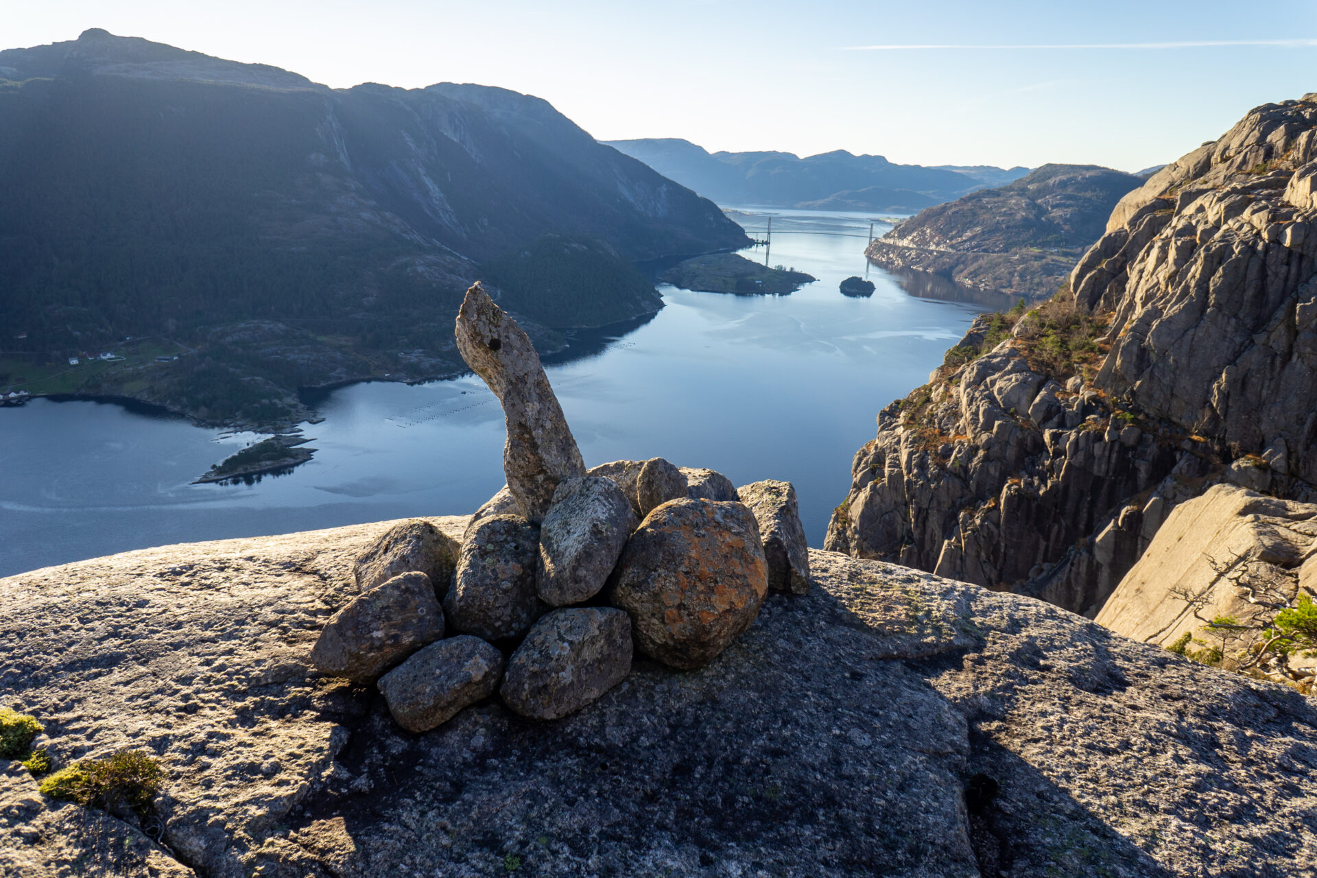
Bring a map. Follow marked trails and pay attention to signs and information boards along the way. If you lose your way, be on the lookout for cairns of rocks or red Ts. Please do not make your own cairns.
- You hike at your own risk. Turn around in time.
In case of an emergency – call 113.