
STAGE 8
Preikestolen Parking – Høllesliheia


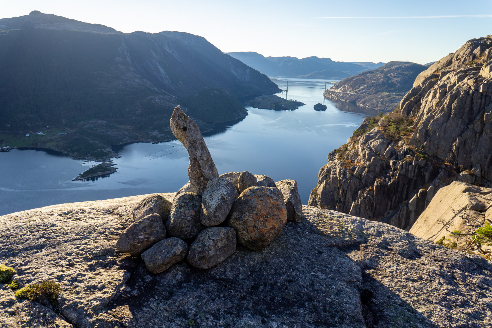

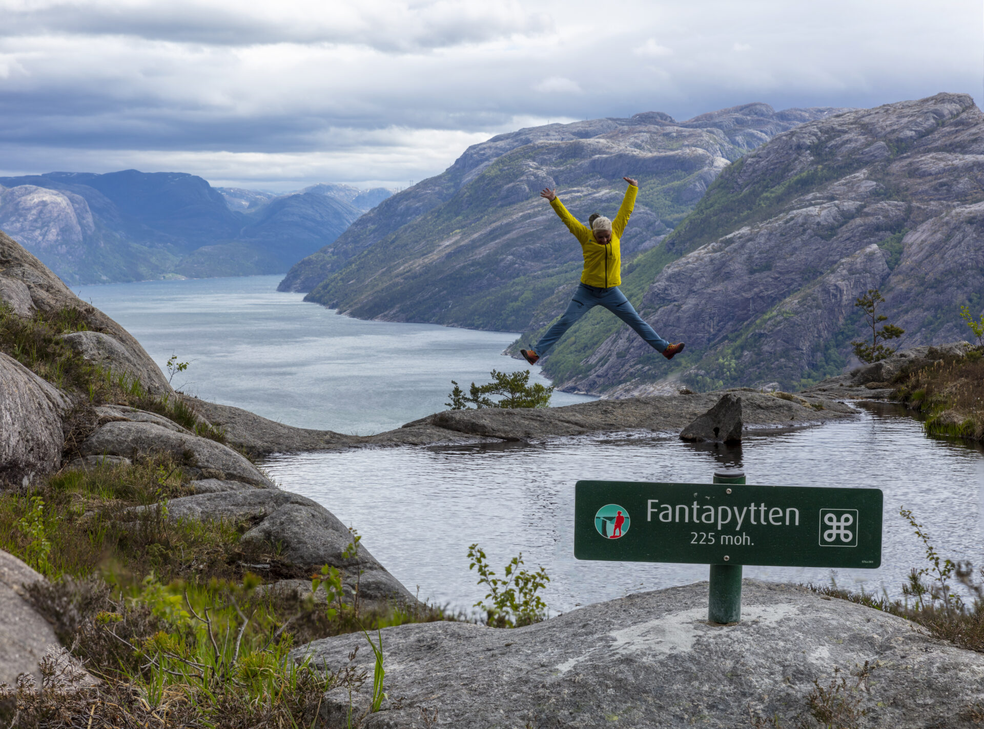


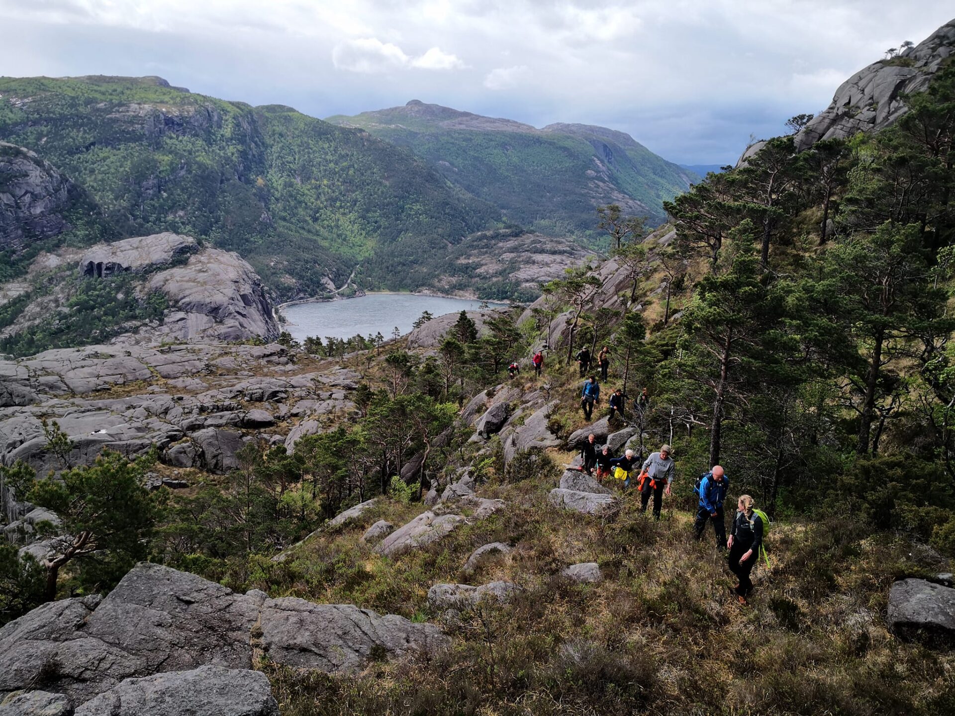
This hike will take your breath away! The trail runs close along the fjord 75% of the time. After passing beautiful Revsvatnet and a dense forest, you’ll reach the Lysefjord. Here, the path winds hundreds of meters above sea level, along several mountain cliffs and gorges, including Skjerajuvet and Fantahålå, and through mighty nature past countless panoramic viewpoints. If you pay close attention, you will find the rather unique “Fantapytten” – the Lysefjord’s own ‘infinity pool’.
In 2024 and 2025, feedback has shown that international Lysefjord Rundt hikers found this stage the most beautiful.
We recommend to hike the Lysefjorden Rundt Trail anti-clockwise. However, it is possible to hike this stage in both directions.
![]() On ut.no, Norway’s hiking planner, you’ll find detailed trail information. Use digital maps for navigation, and searching for cabins and hikes all over the country. Ut.no is a services offered to the public by the Norwegian Trekking Association (DNT).
On ut.no, Norway’s hiking planner, you’ll find detailed trail information. Use digital maps for navigation, and searching for cabins and hikes all over the country. Ut.no is a services offered to the public by the Norwegian Trekking Association (DNT).
笔记 If you are planning to hike this stage as a day trip only, we actually recommend hiking from west to east, to get the best views. The gentle, long slopes also run down eastwards (they will feel like long uphills hiking westwards), and the steep slopes run up eastwards (they are somewhat exposed when hiking westwards/down). Check 吕瑟峡湾全景步道 for a west-to-east description.

| 困难 | 要求高 |
| Distance | 9 km |
| Duration | 4-5小时 |
| 总海拔增益 | 500米(东西向) 600米(东西向) |
| 季节 | May – October |
| Link to digital hiking map | ut.no/preikestolen-basecamp-høllesliheia |
| GPX-file | Preikestolen BaseCamp-Høllesliheia (GPX) |
Video: Willy Steinskog
Directions
Parking facilities are available at both The Bolder and Preikestolen Parking.
When parking at Preikestolen Parking, follow signs to Preikestolen. 9 km from Jørpeland, 17 km from Forsand.
The Bolder is located along fv 523, 10 km south of Jørpeland, and 6 km north of Forsand.
Public Transport
Preikestolen Ekspress Bus 或者 Pulpit Rock Tours
For transport between Preikestolen Parking and Jørpeland / Stavanger.
Kolumbus – local buss 120
To Forsand or Jørpeland after you have reached the finish / The Bolder. Check the bus schedule carefully, there are few departures. Make it very clear to the bus driver to stop. It might be more practical to arrange a taxi.
斯特兰德出租车
For transport The Bolder and Preikestolen BaseCamp, or to get to Jørpeland or Forsand.
您计划在 2026 年徒步吕瑟峡湾环线步道吗?
通过注册并分享您的日程安排,您可以让我们为您提供服务。 免费个性化建议 我们会评估您徒步行程的可行性,包括难度和后勤保障。此外,它还会向我们提供游客流量和步道使用情况的数据,帮助我们进行针对性的改进。.
徒步结束后,您将收到一份反馈表。我们鼓励您分享您的体验,因为这些信息对我们不断改进步道和提升游客整体体验至关重要。.
吕瑟峡湾游客指南
当您欣赏这片壮丽的景色时,请记住,您的行动拥有保护和颂扬我们这片独特之地的力量,让所有追随您脚步的人都能受益。.

尊重自然

成为当地社区的一份子

注意安全
