
ETAPA 8
Aparcamiento Preikestolen – Høllesliheia

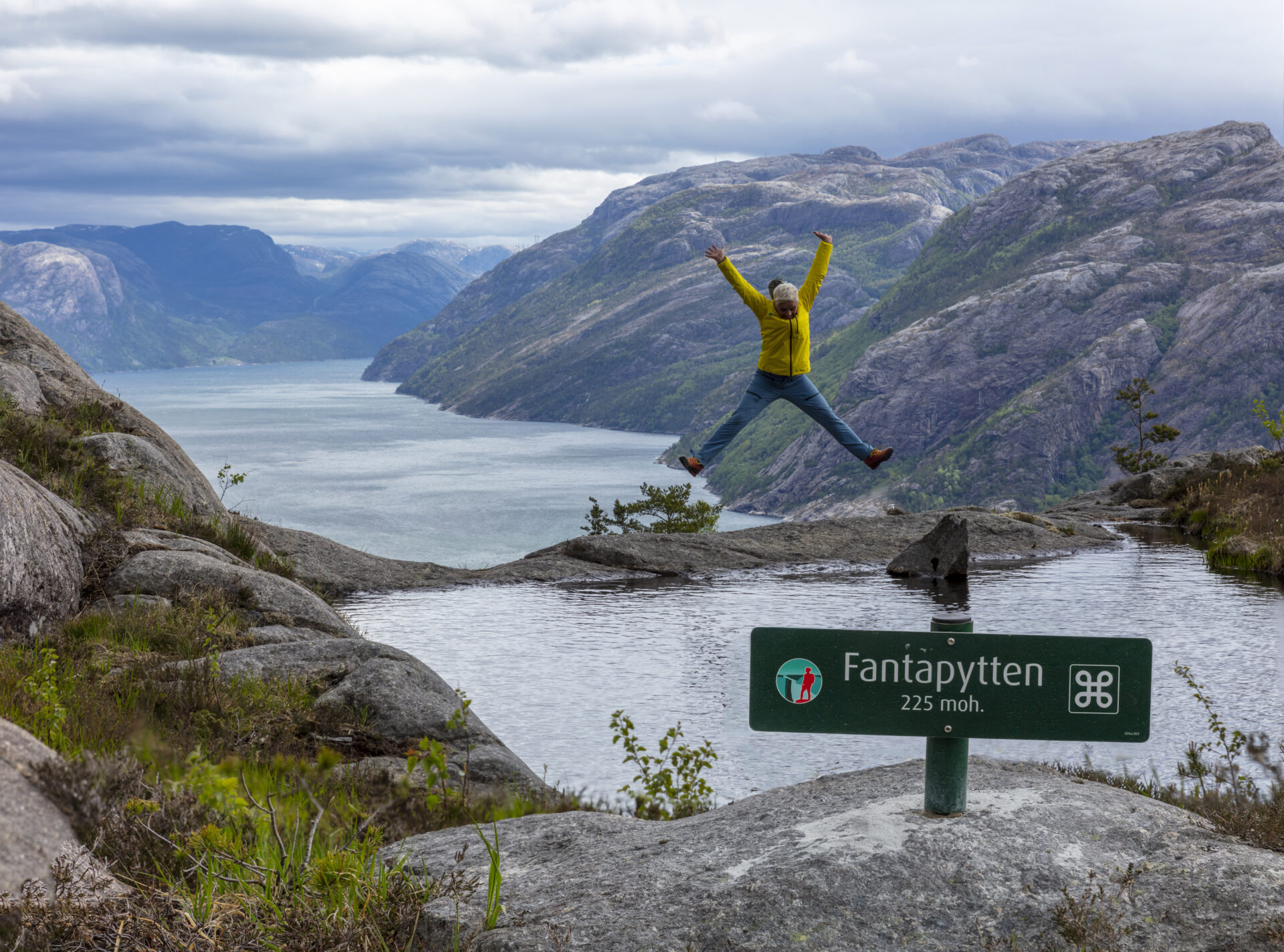
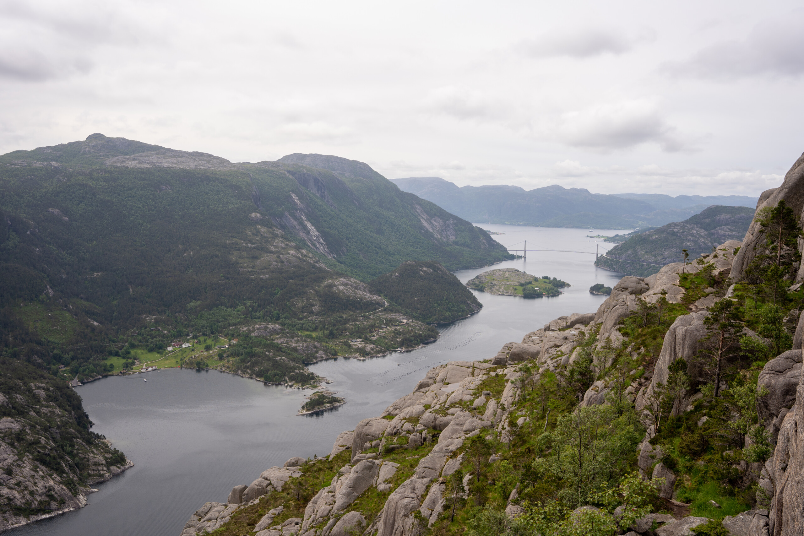
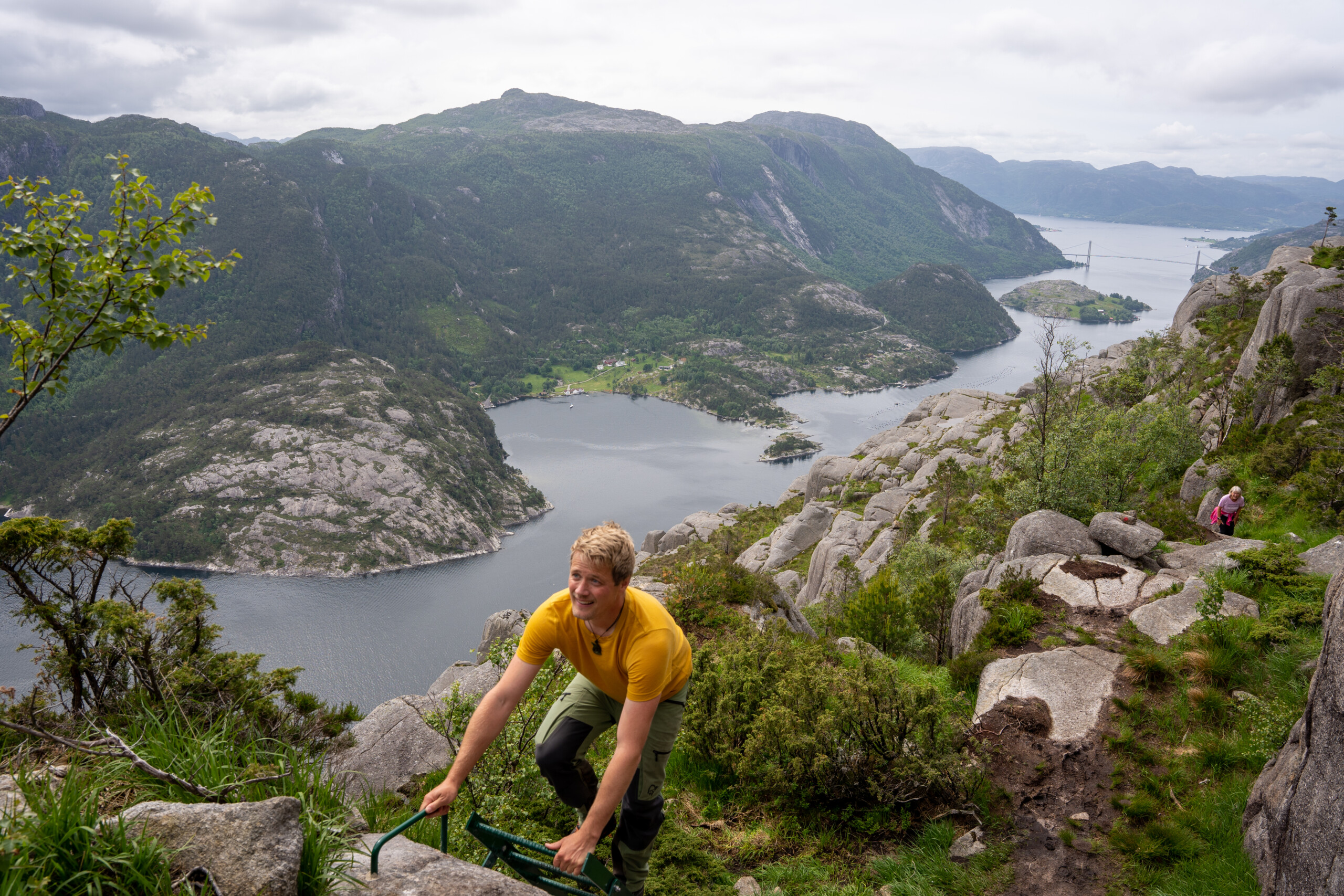
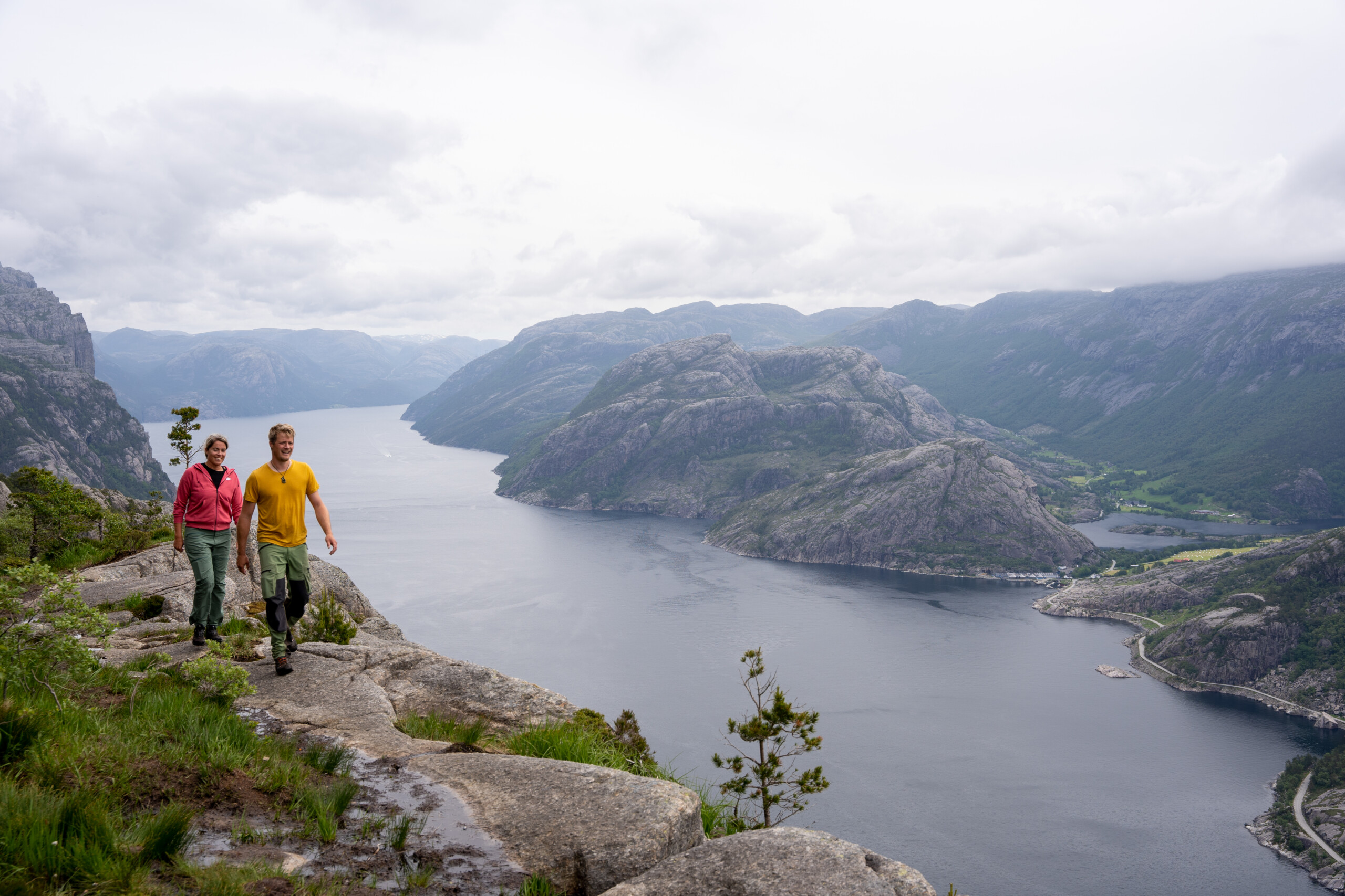
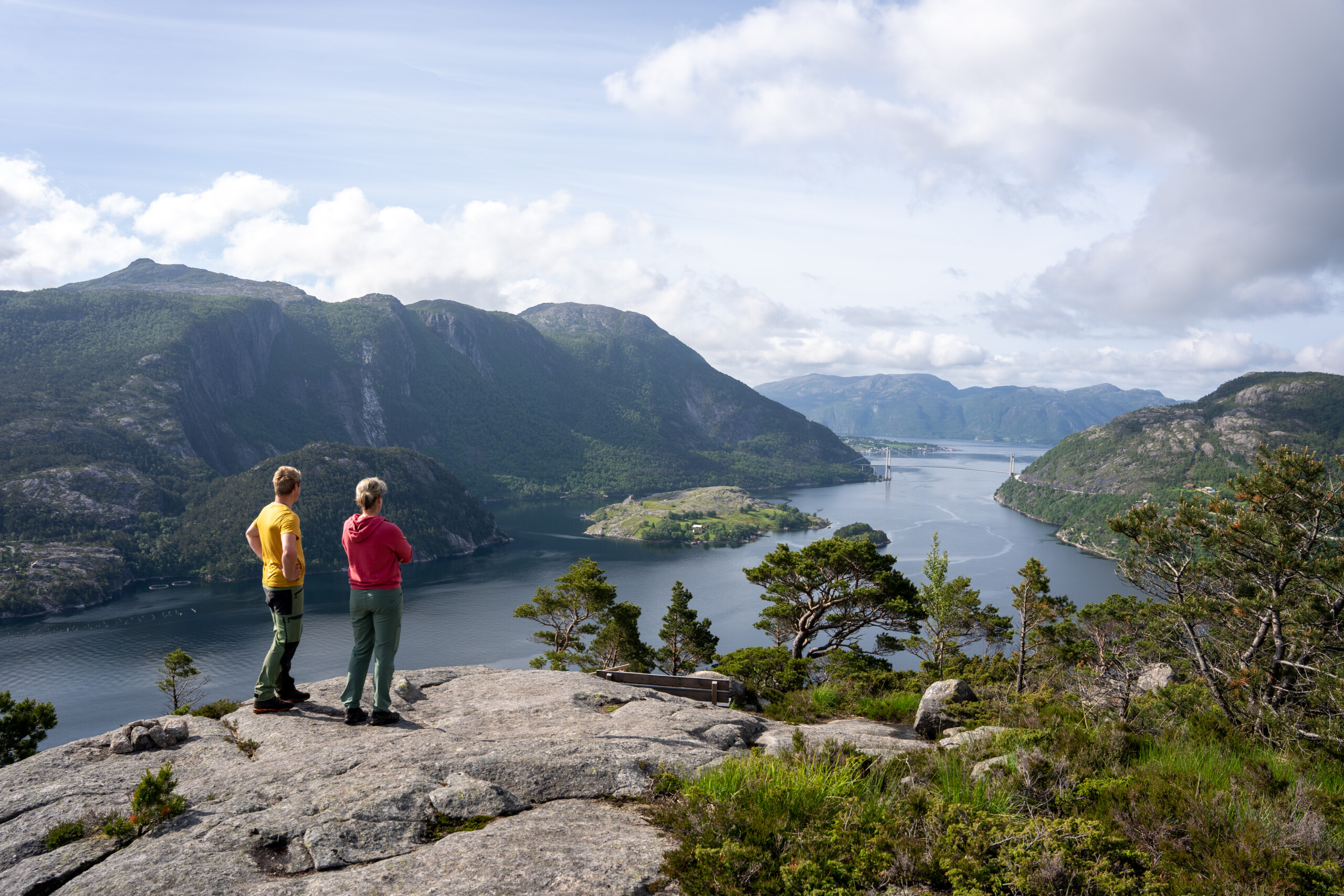
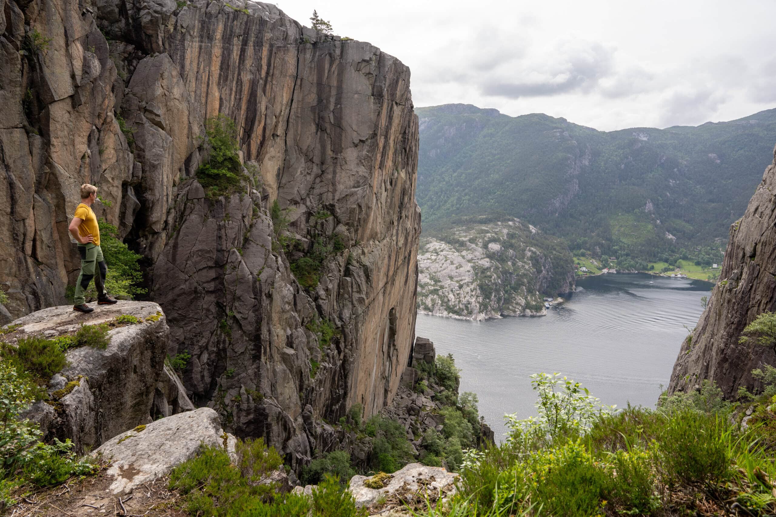

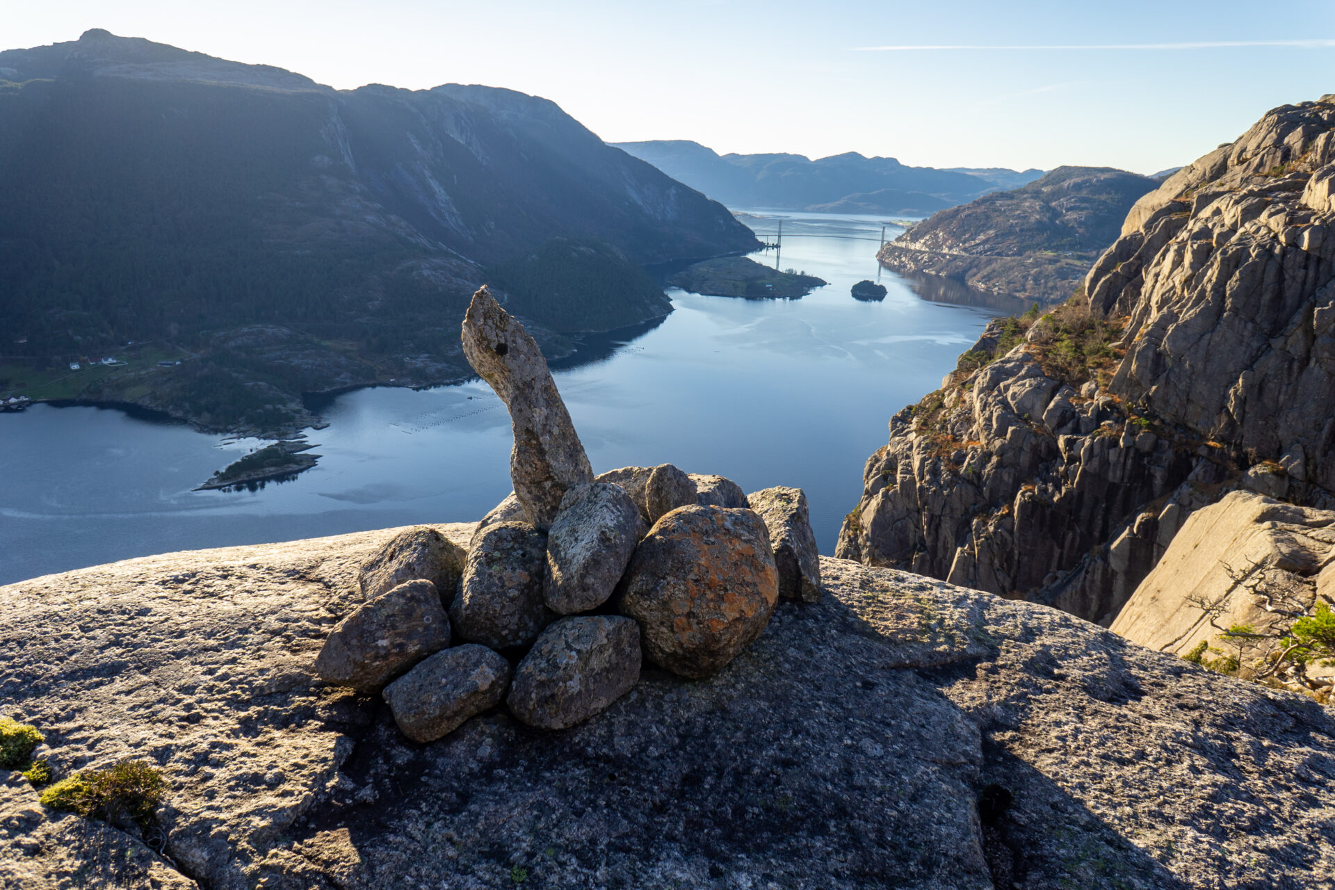


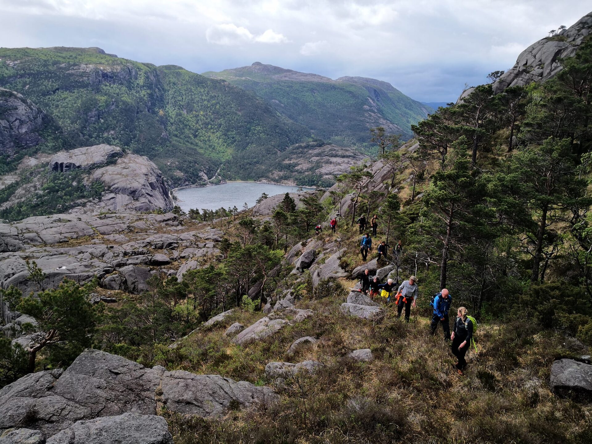
¡Esta caminata te dejará sin aliento! El sendero panorámico del fiordo de Lysefjord recorre el fiordo 75%. Tras pasar por el hermoso Revsvatnet y un denso bosque, llegarás al fiordo de Lysefjord. Aquí, el sendero serpentea cientos de metros sobre el nivel del mar, bordeando varios acantilados y gargantas, como Skjerajuvet y Fantahålå, y atravesando una imponente naturaleza junto a innumerables miradores panorámicos. Si prestas atención, encontrarás la singular "Fantapytten", la piscina infinita del fiordo de Lysefjord.
En 2024 y 2025, los comentarios han demostrado que los excursionistas internacionales de Lysefjord Rundt encontraron esta etapa la más hermosa.
Recomendamos recorrer el sendero Lysefjorden Rundt en sentido contrario a las agujas del reloj. Sin embargo, es posible recorrer esta etapa en ambas direcciones.
![]() En ut.no, el planificador de senderismo de Noruega, encontrarás información detallada sobre rutas. Usa mapas digitales para navegar y buscar cabañas y rutas de senderismo por todo el país. ut.no es un servicio público de la Asociación Noruega de Senderismo (DNT).
En ut.no, el planificador de senderismo de Noruega, encontrarás información detallada sobre rutas. Usa mapas digitales para navegar y buscar cabañas y rutas de senderismo por todo el país. ut.no es un servicio público de la Asociación Noruega de Senderismo (DNT).
NOTA Si planeas recorrer esta etapa solo como excursión de un día, te recomendamos caminar de oeste a este para disfrutar de las mejores vistas. Las laderas suaves y largas también descienden hacia el este (parecerán largas subidas al caminar hacia el oeste), y las laderas empinadas ascienden hacia el este (están algo expuestas al caminar hacia el oeste/bajar). Consulta Sendero panorámico del fiordo de Lysefjord para una descripción de oeste a este.
Tome un autobús desde el estacionamiento de Preikestolen hasta el comienzo del sendero en Høllesliheia / The Bolder.


| Dificultad | Demandante |
| Distancia | 9 kilómetros (A→B) |
| Duración | 4-5 horas |
| Ganancia de elevación total | 500 metros (este-oeste) 600 metros (oeste-este) |
| Estación | Abril – octubre |
| Enlace al mapa de senderismo | ut.no/preikestolen-basecamp-høllesliheia |
| Archivo GPX | Campamento base de Høllesliheia-Preikestolen (GPX) |

Instrucciones
Hay plazas de aparcamiento disponibles tanto en The Bolder como en Preikestolen Parking.
Puedes conducir en coche o tomar un autobús desde Stavanger hasta el aparcamiento de Preikestolen. Desde allí, puedes tomar un autobús hasta el inicio del sendero (ver Transporte público).
Cuando aparque en el aparcamiento Preikestolen, siga las indicaciones hacia Preikestolen. A 9 km de Jørpeland, a 17 km de Forsand.
Høllesliheia / The Bolder se encuentra a lo largo de la fv 523, a 10 km al sur de Jørpeland y a 6 km al norte de Forsand.
Si prefiere aparcar en Høllesliheia/The Bolder, tenga en cuenta que no hay baños. Por favor, siga y respete la señalización e instrucciones locales.
Transporte público
Servicio de traslado en autobús desde Preikestolen Parking hasta Høllesliheia / The Bolder (inicio del sendero)
Novedades en 2026
- Mayo–septiembre: Salida diaria de autobús a las 11:00 desde el aparcamiento de Preikestolen hasta Høllesliheia / The Bolder
- Octubre: Salidas de fin de semana a las 12:00
- Tiempo de conducción: aprox. 15 minutos
- Precio: 70 coronas noruegas
Reserva: Excursiones al Púlpito
Al reservar, seleccione “Desde: Pulpit Rock” y “Hasta: The Bolder”.
Autobús exprés Preikestolen o Excursiones al Púlpito
Para el transporte entre Preikestolen Parking y Jørpeland / Stavanger.
Taxi de la playa
Para transportarse a The Bolder y Preikestolen BaseCamp, o para llegar a Jørpeland o Forsand.
¿Estás planeando recorrer el Lysefjorden Rundt Trail en 2026?
Al registrarte y compartir tu horario, nos permites ofrecerte asesoramiento personalizado gratuito sobre la viabilidad de su itinerario de senderismo, considerando tanto la dificultad como la logística. También nos proporciona datos sobre el tráfico de visitantes y el uso de los senderos, lo que nos ayuda a implementar mejoras específicas.
Después de su caminata, recibirá un formulario de comentarios. Le animamos a compartir sus experiencias, ya que esta información es vital para que podamos mejorar continuamente tanto el sendero como la experiencia general de los visitantes.
Guía turística del fiordo de Lysefjord
Mientras experimenta este majestuoso paisaje, recuerde que sus acciones tienen el poder de proteger y celebrar nuestro destino único para todos los que siguen sus pasos.

Respetar la naturaleza

Sea parte de la comunidad local

Mantenerse seguro
